Shoreline Erosion Risk Assessment and Management Plan:
Pilkey’s Folly, Rappahannock River, VA

Abstract
This project uses GIS and coastal modeling to assess erosion threats at Pilkey’s Folly on Virginia’s Rappahannock River. It analyzes wave exposure, fetch, and sea-level rise to map risk zones and recommend sustainable, cost-effective shoreline solutions—like living shorelines and oyster reefs—to protect the property long-term.
Proposal
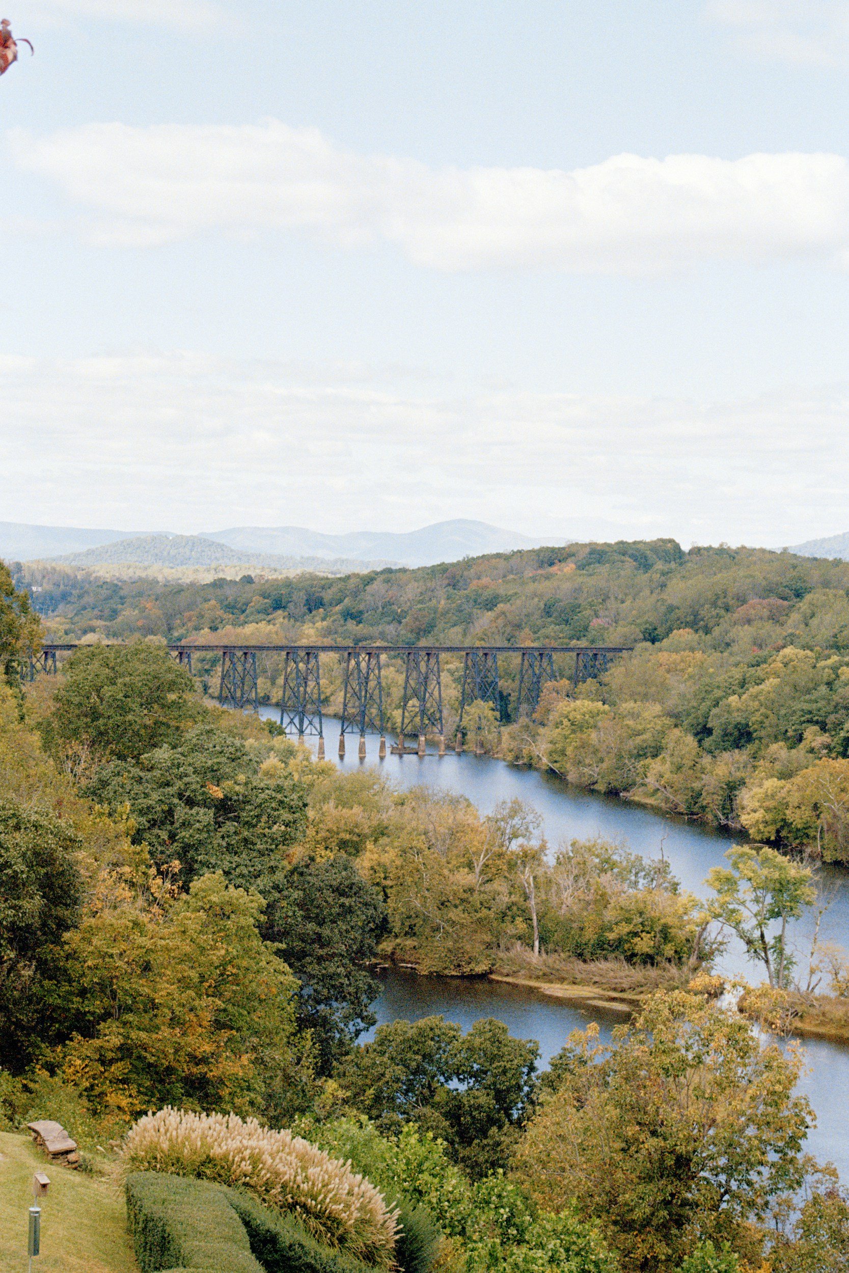
Nestled along the shoreline of the Rappahannock River in Virginia, “Pilkey’s Folly” serves as a peaceful retreat for Mr. Potter to escape the demands of daily life. Like many coastal properties in the region, it is increasingly vulnerable to shoreline erosion, wave exposure, and the long-term effects of sea-level rise.
As part of this erosion hazard assessment, our goal is to identify and recommend cost-effective, environmentally sustainable solutions to stabilize the shoreline and protect Pilkey’s Folly from further damage. By analyzing erosion rates, wave energy, and fetch conditions, we will develop targeted strategies such as living shorelines, oyster reef sills, or hybrid designs tailored to the site. Our proposed solutions aim to ensure that Mr. Potter can continue to enjoy his riverside haven for many years to come — and preserve the property for future generations.
Technical Approach And Methodology
To assess the erosion hazards facing Pilkey’s Folly, our team will use a combination of remote sensing data, historical shoreline change analysis, and GIS-based coastal modeling techniques. We will collect data on shoreline position, erosion rates, wave energy, fetch, and topography using publicly available datasets, aerial imagery, and field observations (if required). Data on sea-level rise and long-term shoreline vulnerability will be supplemented with publicly available tools such as NOAA’s Sea Level Rise Viewer and coastal flood hazard datasets. GIS tools such as raster analysis, slope modeling, and spatial overlays will be used to generate erosion risk maps and assess the vulnerability of Mr. Potter’s shoreline. Special attention will be given to shoreline segments directly adjacent to the cottage, with analysis of prevailing wind and wave exposure to determine the most affected zones. The goal is to model current conditions and project future vulnerabilities based on sea-level rise and continued erosion processes.
Project Deliverables and Risk Assessment Products
The final deliverables will include a suite of hazard risk maps, a written summary report, and actionable recommendations tailored to the site. These products will support both the property owner and DSH in planning short- and long-term shoreline protection strategies. Deliverables will include:
A shoreline change map illustrating historical erosion trends
A fetch and wave exposure analysis to identify high-risk coastal segments
A site-specific erosion vulnerability map identifying zones of concern
A summary report detailing methods, findings, and coastal protection options
Recommendations for cost-effective, environmentally friendly solutions such as living shorelines, oyster reef sills, or hybrid strategies that avoid the long-term costs of hard stabilization
Project Timeline and Budget Estimate
The proposed project timeline is approximately 4–6 weeks. The estimated schedule includes:
Week 1: Data collection and site-specific review
Weeks 2–3: GIS modeling and spatial analysis
Week 4: Drafting of maps and technical report
Weeks 5–6: Finalization of deliverables and team consultation for solution design

The estimated Budget is Outlined Below:
Task | Estimated Cost
GIS Analysis and Modeling | $2500.
Map Production and Reporting | $1000.
Optional Field Site Verification | $500.
Total Estimate | $4000.
This approach offers a cost-effective, data-driven foundation for developing long-term, sustainable shoreline solutions for Pilkey’s Folly.
Questions on how to move forward?
Email Lembert@atlantisgeo.com

References
National Oceanic and Atmospheric Administration (NOAA). (n.d.). Sea Level Rise Viewer. U.S. Department of Commerce. https://coast.noaa.gov/slr/lly.
Disclosure
This project was completed as part of a class assignment for GEOG 519 – Advanced GIS Applications with Dr. Tom Allen, Spring 2025, in the Department of Political Science and Geography at Old Dominion University.
Educational Exercise — Fictional Content
All names, locations, and data used in this project are entirely fictitious and were created for academic purposes only.
Project Title: Shoreline Erosion Risk Assessment and Management Plan
Study Area: Pilkey’s Folly, Rappahannock River, VA
Prepared for: Dewey, Seldem, and Howe, Inc. (fictional client)